Inspired by the posts on Jerome Lim’s The Long and Winding Road and Tan Kar Gee’s A Journey Till the End, as well as the walk by the Green Corridor last week, I decided to explore the south side of the railway, looking for the bridges and level crossings.
So, after re-visiting the Bukit Timah Railway Station, Gilbert, Steve and myself took a bus to Upper Bukit Timah Road, near the place where the Courts used to be.
An interesting find is this half-chopped overhead bridge outside the Bukit Timah Shopping Centre. This used to link the shopping centre to the row of shophouses opposite.

We walked a short distance to the girder bridge at Hindhede Road. While fooling around trying to take self-portraits near a concave mirror, a train passed by over the bridge, which meant we missed capturing a shot of it. Oh well.
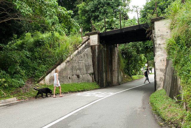
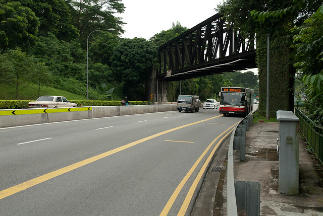
After this we began a long trek to shoot the other bridges and crossings. First to be seen is another black truss bridge across Upper Bukit Timah Road, near the Rail Mall.
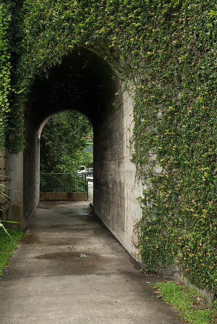
Underneath the bridge is an arched pedestrian walkway with the outer walls are covered with crawlers.

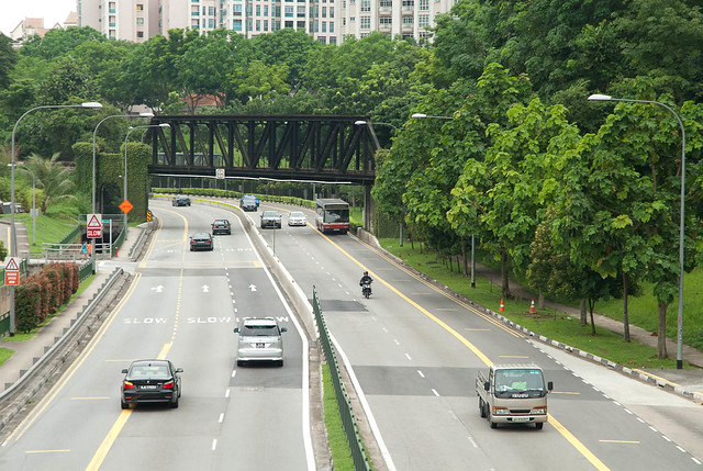
We crossed the overhead bridge to get to the other side of Upper Bukit Timah Road and to get another shot of the black truss bridge.
A while later, we arrived at the Hillview Road bridge. A yellow Lotus sports car happen to zoom by at this moment, giving a contrast between modern and old transport.

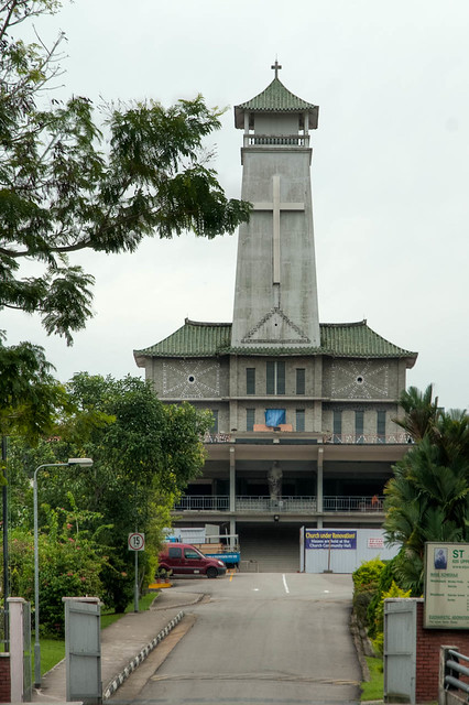
Continuing our journey, we come across the very uniquely designed St. Joseph’s church. The church has a 33m tall tower featuring a pagoda-styled roof, giving the classic “east meets west” feel to the building. The main church building itself also has the Chinese styled roof, which gives the church the unique look.
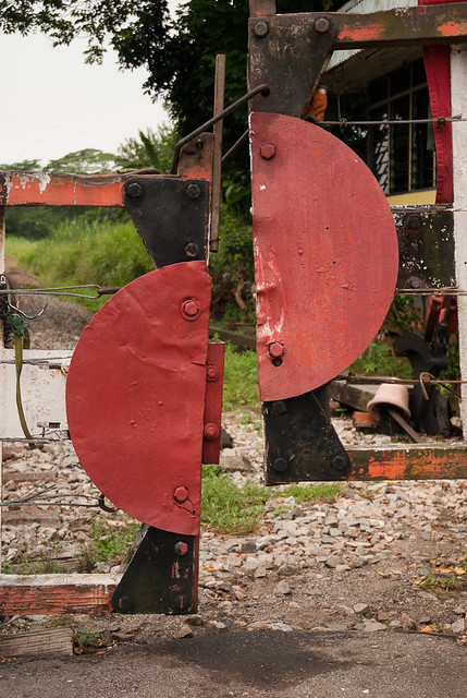
A short distance ahead is the Gombak level crossing across Gombak Drive right outside the MINDEF building. This still has manually-operated gates which close the road to the traffic to allow the train to pass.
Shortly after we arrive and started taking pictures, a KTM worker shouted at us that no photography was allowed, and that we had to get permission from the Bukit Timah station master, which we sort of did. Steve, who knows bahasa melayu managed to talk to him to allow us to continue shooting.
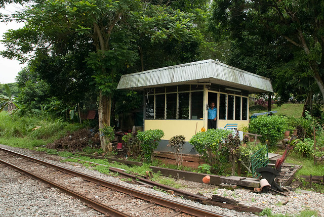
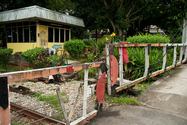
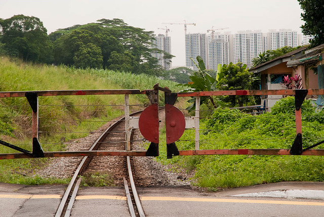
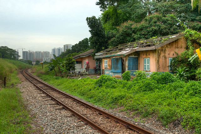
On the north side of the crossing are some abandoned KTM buildings. Together with the HDB flats in the distance, the form a contrast of old and new. These buildings will no doubt eventually give way to new developments sooner or later.
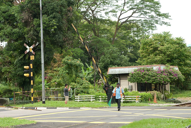
Before long, that KTM staff started shouting at us again, and not wanting any trouble, we left. By now, we are semi-tired and so decided to take a short bus trip to Ten Mile Junction, which the Bukit Panjang level crossing at Choa Chu Kang Road is near.
As luck would have it, shortly after we arrived, we saw the KTM worker come out of his hut to lower the barriers and close the road to traffic.
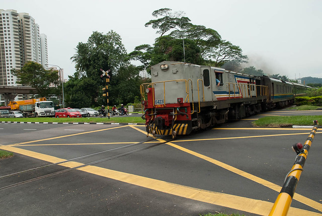
It’d have been great to capture the passing KTM train crossing Choa Chu Kang road and a LRT train passing by on its tracks above, but we didn’t have THAT much luck.
Crossing the road towards the control hut, we see that it’s in a nice landscaped surroundings. This looked a little nicer than the one at Bukit Gombak.
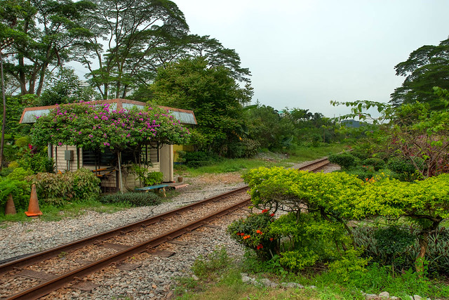
It was a very fruitful trip, and we were all glad we did not cancel the trip due to rain to sleep in. It has been worth it.
Hi,
It’s me. 🙂 Thanks for mentioning about my blog. 🙂
Great to hear about your walk. Must have been quite a long walk, eh? 🙂
Anyway, just some technicalities (not that it’s important now that the trains and tracks will be gone soon…) – one of the KTM wardens at Kranji Crossing, Roslan, told me that the official KTM names for the crossings are (from Gombak Drive onwards) “Gombak”, “Bukit Panjang”, “Mandi” (our Stagmont Ring), “Sungei Kadut” and “Kranji”. 🙂 Thought it’d be useful to point it out here. 🙂
Did you try walking the pre-Bukit Timah stretch? Very nice also, especially the part from Queensway until Ghim Moh.
Cheers!
Kar Gee
Thanks Kar Gee. I’ve updated the names, only realised I probably got it wrong when I tried to look it up again. I only recently got interested after attending one of the Green Corridor walks at Bukit Timah Railway Station and chancing upon Jerome’s and your blogs which inspired me to go explore.
Are you referring to the old Jurong Line which also cuts through Ulu Pandan/Sunset Way?
Regards
CK
CK,
No, it’s the main line (I’m not too keen on Jurong Line, truth be told). Follow my blog from Tanjong Pagar onwards (http://ajourneytilltheend.blog.com/page/4/) and you’ll know. 🙂
Thanks to the design of blogs, the way to navigate is to click the shot from the sky, then click left instead of right to advance! Quirky right??? No choice, that’s how one tells a story on a blog! :S
KG
Thanks, I’ll check it out. You must have a lot of patience to actually wait for the trains to pass! The timings are not that frequent right?
CK,
The trains leaving Tanjong Pagar are quite punctual if they don’t have to wait for a train to return from Malaysia before leaving the Station. Yes, the return ones are never punctual. I have waited for nearly 2 hours before without seeing the train. And you would have noticed from my photos that there are 2 conditions for me to decide how a shot must be taken: the composition will decide 1) what time of day a shot should be taken (AM or PM), because the direction of the sunlight, and 2) as a result of deciding the time of the day, the direction that one’s camera must point at will also determine the direction of the train. 🙂
Ya, I’m also amazed at myself for my patience. Haha. 🙂
Hi, I wanna check with you whether you know if people are able to like get access to the truss bridge at Rail Mall. Is there like a path or something near the arches we can get up to take photos at the truss bridge? Thanks in advance. 🙂
I have not been up there but there’s a path nearby which should get you up.
http://www.flickr.com/photos/chengkiang/5848115043/in/set-72157626871758263
Good luck!
I guess this reply is many years late. I just concluded a short stroll from Rail Mall to the renamed Junction 10. In retracing the steps, I came across this blog post and the photos bring back great memories of the days when the KTM trains were running. Many, many years ago, I made a crazy walk along the railway line from Tanjong Pagar all the way to Woodlands. This post and all those related posts bring back memories of a time when Petir Road was a twisted, narrow Lorong Petir. A time when Lorong Taluki cut across the railway line to Hillview Estate. A time when Dairy Farm was a farm and not a condominium. A time when the Eveready was where Hillview Heights now stand. A time when Gombak Drive was a crazy drive up the hill and people lived in attap or zinc roof and wooden walled single storey houses on the hill itself. A time when the I gazed at the rotating radar and the Bloodhound missles. A time when Assumption English School was called Boys’ Town. A time when the Sikh guard stood outside the entrance of the Chartered Bank. So thanks for the bringing back the memories.
Glad that you enjoyed the post and photos. It’s indeed sad to see all these old places disappear as Singapore progresses.
Can you please direct me to both the Gombak and Bukit Panjang level crossings? I tried finding but couldn’t. Where exactly do I go and how exactly can I locate these 2 places? Thank you for your help.
The level crossings are no longer there. They have been dismantled after the railway land has been returned to Malaysia years ago. The level crossing was near the Ten Mile Junction.